DESCRIPTION
The Visitacion Valley/Schlage Lock Master Plan redevelops the 20- acre brownfield site into a vibrant mixed-use and transit-oriented neighborhood. The project is at the southern edge of San Francisco and the northern end of the future Baylands development. The new neighborhood extends the city grid […]
DESCRIPTION
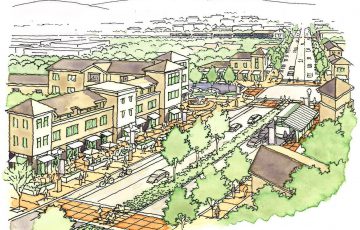
VMWP has provided urban design expertise to the Precise Plan process for 3.9 miles of El Camino Real in Mountain View. The analysis and design guidelines build the framework necessary to reposition ECR from a typical low-density suburban arterial into a ‘Grand, multi-modal, mixed-use Boulevard […]
DESCRIPTION
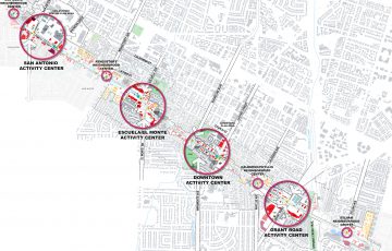
The Grand Boulevard Initiative is the coordinated planning effort of multiple Cities, Counties and agencies to develop a Vision for approximately 50 miles of the El Camino Real corridor into a series of vibrant mixed use hubs. VMWP worked closely with Strategic Economics, the prime […]
description
The Pleasanton TOD Standards and Guidelines, put together with TransACT for the City of Pleasanton and BART, creates overlay zones for three parcels in the Hacienda Business Park PUD and the BART parcel to allow for the incremental development of a TOD village around the […]
description
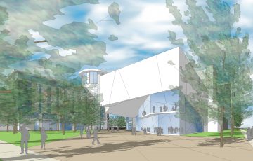
The Upper Kirby District is located in the heart of Houston. Between the Galleria area and downtown, Upper Kirby District is immediately adjacent to Greenway Plaza, River Oaks, West University, and Montrose. The Livable Centers Study for the Upper Kirby study area builds upon and […]
DESCRIPTION
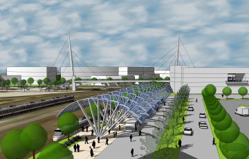
The Northside neighborhood, north of Houston’s downtown and connected through Main Street and the future San Jacinto Street, is easily accessible from I-45 and I-10, but cut off from downtown vacant industrial land. The study seeks to build off of previous planning efforts including the […]
description
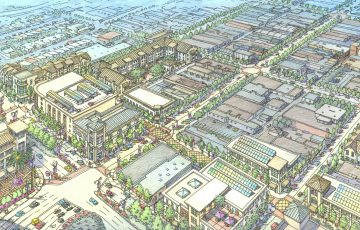
VMWP is creating a framework or strategy plan for the City of South San Francisco that maps existing and potential opportunity sites, streetscape development projects, and public realm improvements throughout the Downtown district. This framework plan will create a blueprint for the City to follow […]
DESCRIPTION
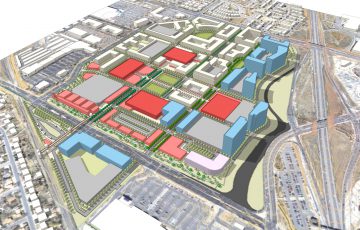
The Westminster mall sits at the crossroads of US 36, Sheridan Street and 88th Avenue, adjacent to a planned Regional Transportation District multimodal commuter rail stop. The plan for this new urban neighborhood is organized by a traditional pedestrian-oriented street grid surrounding a central Town […]
DESCRIPTION
Waipahu Neighborhood TOD is two community plans for the siting and future urban redevelopment adjacent to the planned elevated fixed guideway transit system for the island of Oahu. This culturally diverse neighborhood is an historical plantation center. Waipahu is located just north of Pearl Harbor […]
description
Superior New Town Center is a 162 acre parcel of vacant land on the Highway 36 Denver-Boulder Corridor. Superior Original Town is just west of McCaslin Blvd., which borders the western edge of the site. Coal Creek and Coal Creek Regional Trail run through the […]
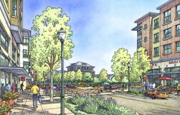 Schlage Lock Master Plan
 El Camino Real Precise Plan
 Grand Boulevard Feasibility Study
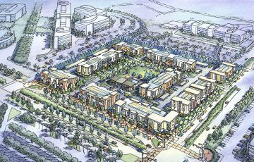 Pleasanton BART Transit Village
 Upper Kirby Livable Centers Study
 Northside Livable Centers Study
 SSF Downtown Strategy Plan
 Westminster Mall
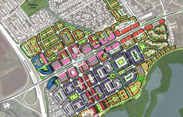 Waipahu Neighborhood TOD
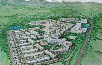 Superior New Town Center